Atmosphere AR
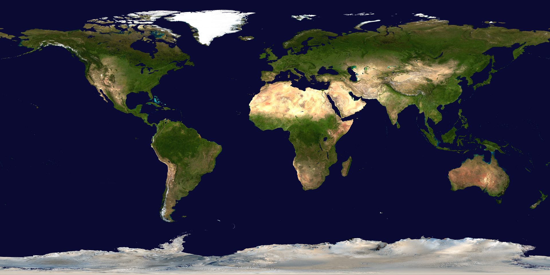
Explore global wind circulation, temperature, and lightning in augmented reality with Atmosphere AR, developed at CISESS, University of Maryland. Point your device's camera at one of the tracker images below to bring atmospheric data to life on a flat world map or an interactive 3D globe.
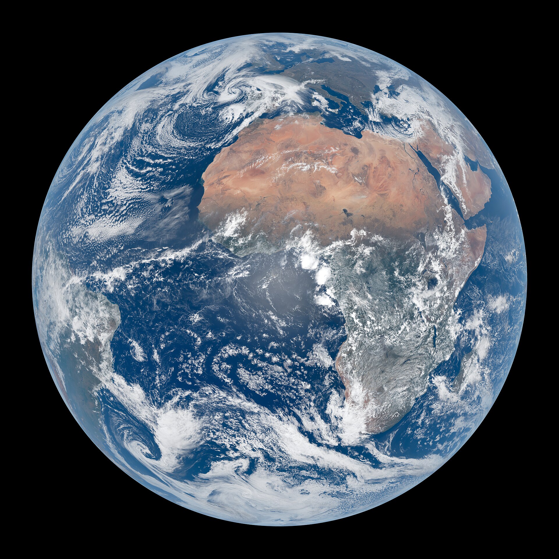
Download the full-resolution tracker images below to print or display on a screen, then view them through the app to get started.
Try Atmosphere AR
Download the app to experience Atmosphere AR on an iPhone, iPad, or Android device.
3D Globe Visualization
Use this globe image to access the three-dimensional Atmosphere AR visualization.
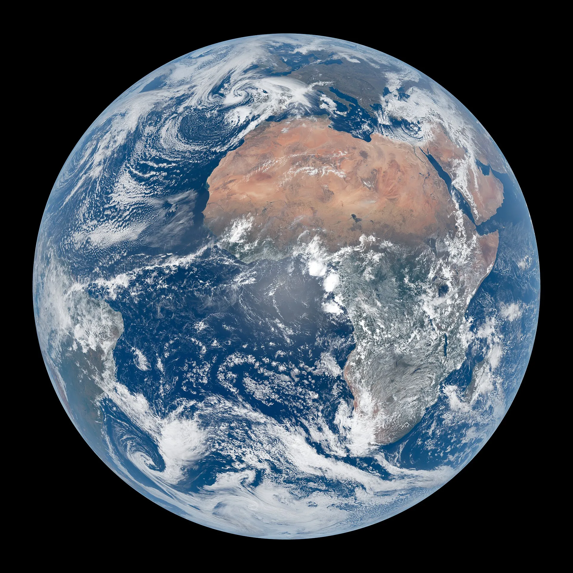
Image: © EUMETSAT 2025
2D Map Visualization
Use this world map image to access the two-dimensional Atmosphere AR visualization.
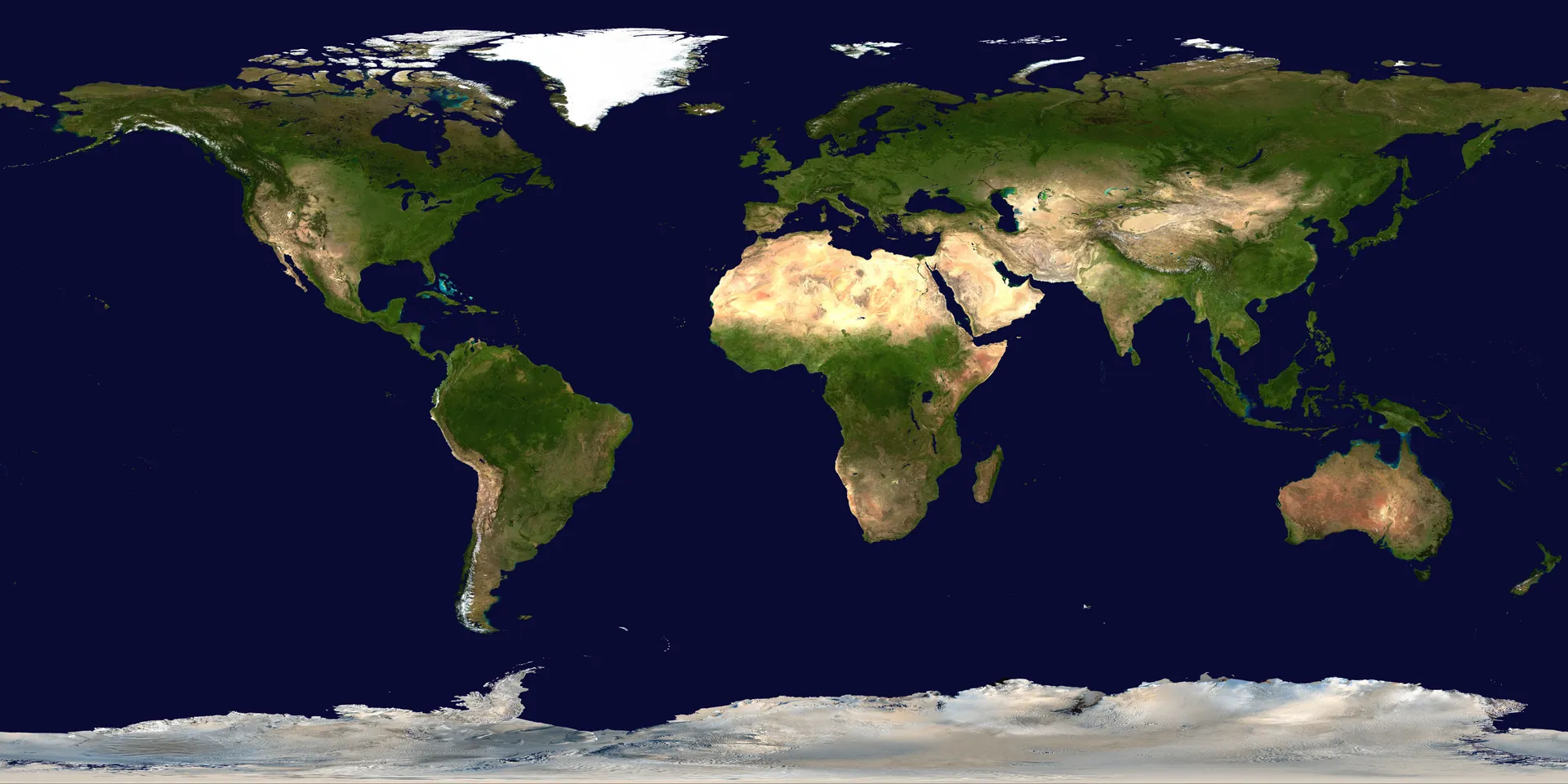
Image: NASA Goddard Space Flight Center — Blue Marble (public domain)